LOCSS at the South American Water From Space Conference
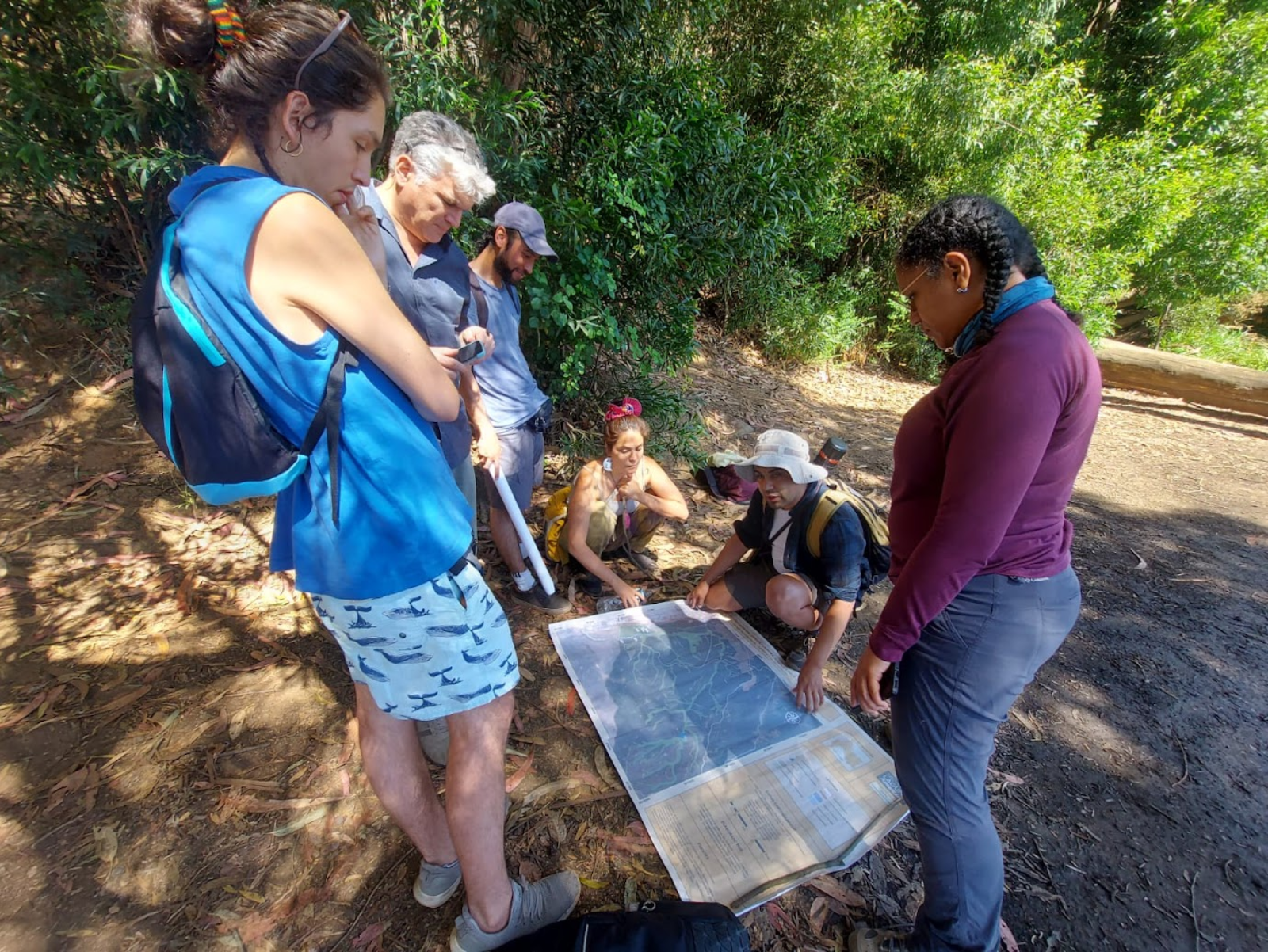
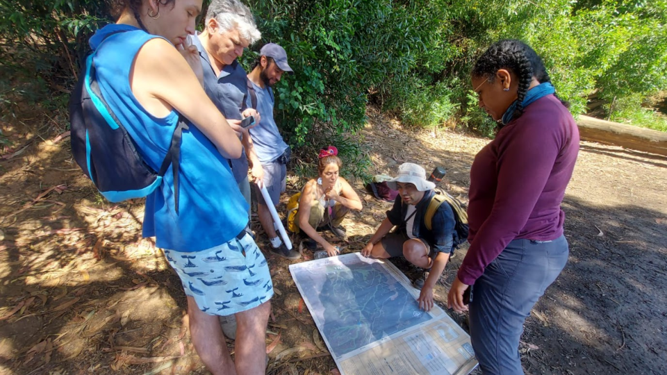
 Angélica Gomez (Right) works with local partners in Chile
This past week, LOCSS’ Angélica M. Gómez spoke at the IV South America Water from Space conference about the progress in evaluating water level observations from the Surface Water and Ocean Topography satellite mission, SWOT, using LOCSS data and the advances of LOCSS in Chile and Colombia.
The presentation first highlights the comparisons between LOCSS and the SWOT satellite data. Six lakes in the United States that were overpassed by the SWOT 1-day orbit were used to make these comparisons of absolute and relative water elevation: these lakes included Coldwater Lake, Panther Lake, Lake Sammamish, North Lake, Lake Washington, and Lake Wenatchee. The absolute and relative water elevation from both the SWOT satellite and data from citizen scientists were consistently similar, and trends were the same. These results suggest that the SWOT satellite is recording accurate measurements as LOCSS citizen scientists accurately report lake heights.
Comparisons of absolute and relative water elevation between citizen scientists and the SWOT satellite were also completed for a wetland (A. Ciénaga Musanda) in Colombia. Again, relative height measurements were very similar.
The presentation also highlights citizen engagement in Chile and Colombia where 12 gauges, 6 in each country, have been installed since 2023. In South America, LOCSS has partnered with community organizations that have strong interests in lake conservation and restoration. In this context, Angélica has been working closely with Deisy Rivera and Sandra Escobar, experts in community participation in water-related projects, and two communities in Colombia to understand the relationships between lake water levels and the communities. They have implemented strategies from Participatory Action Research or PAR, an approach that involves the participation of communities in the research process with the goal of understanding or addressing local issues. They specifically aimed to identify from the community’s perspective what has been causing the lake water level changes. To do so, they have conducted two main PAR strategies: a timeline workshop and social cartography which better allowed them to link, in space and time, the impacts lake water level changes have on the community. In addition, constant communication has been stablished with the communities despite being in remote regions.
Ultimately, the question is how we can use SWOT and LOCSS data to best help communities reliant upon nearby lakes. In the future, Dr. Gómez and LOCSS collaborators will continue to work with communities in South America to ensure our data is being used in the most effective way possible and reaches the most people.
You can view Angélica's talk here.
LOCSS News
We share stories about the lakes in our study, our partners and volunteer citizen scientists, as well as interesting results from our research.


